NITROGEN FROM SKY
NOAA Note
we're pleased
 |
| WALLPAPER: BIT OF NITROGEN |
-------

.. The last couple of warm weeks have removed snow from the dark masses in town: house roofs, streets, exposed car roofs, and south facing raised bed gardens.
 |
| GREEN WONDER |
.. The forecast late snow storm for the next couple of days will give us the shot of nitrogen that early crops enjoy.
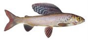
.. Fishing will be good - catching should be great.
NOTE FROM NOAA
Event:| Winter Storm Watch | |
| Alert: | ...WINTER WEATHER RETURNS TO HIGHER ELEVATIONS OF SOUTHWEST MONTANA THURSDAY AND FRIDAY... .Travelers through higher elevations of Southwest Montana should prepare for the potential for periods of moderate to heavy precipitation late tonight through Friday morning. For higher elevations of southwest Montana, this will rain changing to snow as snow levels gradually drop from 7500 feet tonight to 5500 feet Thursday night into Friday morning. Areas most impacted will be above 6500-feet elevation, where moderate to heavy snow may fall at times. Between 5500-feet and 6500-feet, minor snow accumulations will be possible especially Thursday night through Friday morning. ...WINTER STORM WATCH IN EFFECT FROM LATE TONIGHT THROUGH FRIDAY MORNING FOR ELEVATIONS ABOVE 6500 FEET... The National Weather Service in Great Falls has issued a Winter Storm Watch For elevations above 6500 feet, which is in effect from late tonight through Friday morning. * Locations: Big Hole Pass, Chief Joseph Pass, Monida Pass, Raynolds Pass, Targhee Pass, and West Yellowstone. * Timing: Beginning late tonight toward Big Hole and Chief Joseph Pass, and then spreading east Thursday evening through Friday morning. * Accumulations: Snow accumulation of 3 to 5 inches possible, with 6 to 12 inches possible toward Big Hole and Chief Joseph Passes in western Beaverhead County. * Winds: North 10 to 20 mph with gusts up to 30 mph. * Visibilities: Possibly reduced to one-quarter mile at times in heavier snow. * Hazard Elevation: For elevations above 6500 feet. * Snow Level: 7500 feet Wednesday overnight lowering to 5500 feet Friday morning. * Impacts: Periods of moderate to heavy snow may significantly impact travel. |
-------
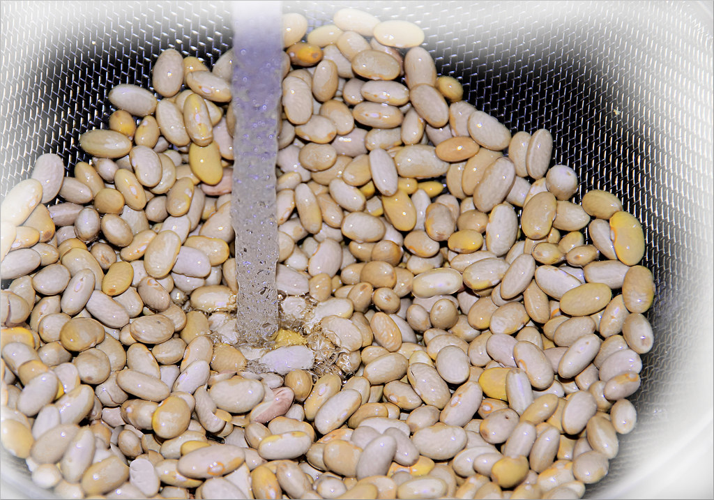 |
| WALLPAPER: MAYOCOBA BEANS: (Phaseolus vulgaris) |


.jpg)