IN THE SNOW
Or, In The House
flows up slightly
 |
| WALLPAPER: EASTER BASKET |
-------
| Winter Storm Warning | |||
...WINTER STORM WARNING IN EFFECT FROM 6 PM THIS EVENING TO
MIDNIGHT MDT MONDAY NIGHT...

* WHAT...Heavy snow expected. Total snow accumulations of 4 to 7
inches possible at lower elevations and 8 to 14 inches in the
mountains.

* WHERE...Portions of central and southwest Montana.

* WHEN...From 6 PM this evening to midnight MDT Monday night.

* ADDITIONAL DETAILS...Plan on difficult travel conditions,
including during the morning commute on Monday. Expect
significant reductions in visibility at times.

* These conditions will also be difficult for young livestock.
* Localities affected: | |||
| |||
-----
.. About this time each year we peek at the flow data for our local streams... The Madison River, Gallatin River and Firehole River are flowing, (around here,) slightly above seasonal norms.
.. Fluctuations over the last week have been weather dependent: no surprise there! Temperatures continue to fluctuate wildly and we enjoy the rapid ups and downs exhibited by our athletic thermometer.
 |
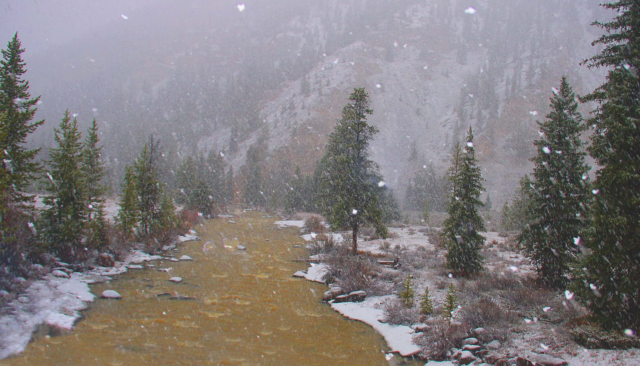
| GALLATIN RIVER IN THE SNOW |
.. The gauge at Kirby Ranch, where flows are approaching record levels, will be discontinued as of October 1, 2018 {LINK D-1.}
.. The gauge at this location along with several others will, (or may be,) discontinued due to the lack of other agency 'partner funding.'
.. For more information the USGS suggest that questions or concerns can be directed to Kirk Miller (kmiller@usgs.gov; 307-775-9168).
.. The near record flows for the lowland Madison River are the result of low-level snow pack melt water running down the South Fork of the Madison River.
-----
.. From time to time we get chided about our high country perspective on the nomenclature for the Madison River. We offer a gentle apology, (in these politically correct times,) to our lowland neighbors. |
| GEO MADISON |
.. The "middle" Madison River extends from Raynolds Pass to the flats near Pony, Montana.
.. The "lower" river extends from the flats near Pony to the estuary of Canyon Ferry Reservoir just north of Townsend, Montana.
.. Traditional 'fly fishing vernacular' allows the 'upper' river to start at Raynolds Pass, (or close,) and quit at Ennis Reservoir.
.. Several locally named segments exist below the dam. There can be: 'below the dam,' 'Bear Trap Canyon,' 'The Kitchen Sink,' etc.
.. Fishing vernacular allows the 'lower' Madison River to start below Ennis Dam and continue to Canyon Ferry Reservoir.
.. Of course many fisher folk allow for a very special river segment called "Madison In The Park."
.. This descriptive bit of national jargon discounts the bits of water from the park boundary to Raynolds Pass which also includes 'Baker's Hole,' 'Hebgan Reservoir,' 'Between The Lakes,' 'Quake Lake,' and the 'Moon Scape.'
.. These fishy names reflect the general "precision" of fishing vernacular in our neighborhood. In fact precision is always missing when fisher folks get together and flap their chops.
-----
.. While the sun is out and the wind has laid down there will be a window of opportunity to bother some fish... We'll make every effort to get back in time for chow at the neighbors: report during the storm.
-------
 |
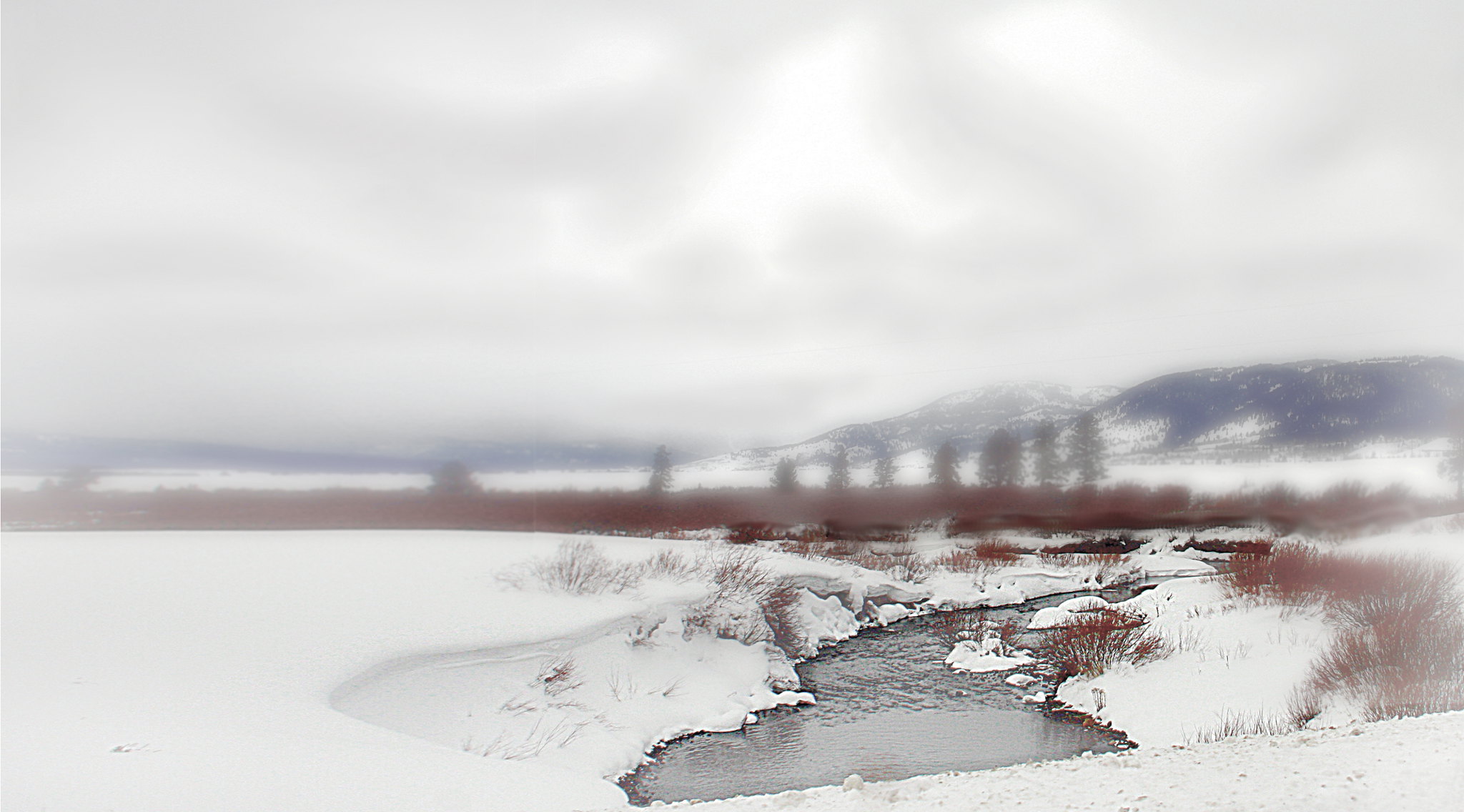
| WALLPAPER: NOTELLUM CREEK FOGGY BOTTOM |
