• PARTNER: PROTECT YOUR WATERS
  • Go To: THE FLIES OF YELLOWSTONE
  • Go To: YELLOWSTONE FISHING WEATHER
  • Go To: YELLOWSTONE FLY FISHING MAPS
  • Visit: Moldy Chum
  • Visit: The Horse's Mouth
  • Visit: Chi Wulff
  • Visit: Parks' Fly Shop
  • Saturday, January 31, 2015

    World Peace,

    THE SUPER BOWL,
    Lost Puppies, Big Horses,
    and fly fishing a lonely stretch


    -------
    .. Priorities are a grand thing. After laying about in the sun with a smoothie we're going to the river: football and world peace be damned.

    Wednesday, January 14, 2015

    Encounter At Notellum Creek

    IN PRAISE OF AUTOFOCUS
    Point And Shoot Delights
    caught some fish too

    -------

    Monday, January 12, 2015

    Winter's Comfort

    TENDER BRAISED SHORT RIBS AND POLENTA

    Sunday, January 11, 2015

    So Far -- So Soft

    SLOW SNOW AND VISITATION
    Just A Few Reminders
    an observation and not complaint
    JUST A LITTLE SNOW AND CLEAR, DRY STREETS

    -------
    .. We've had just a couple of dead still days at -35°F. It reminds us of the way it can be. However, on the whole, so far, the winter has sailed along on a moderate tack. This has thrown a curve to the ice fishers of Hebgan Reservoir. There is slush, (to depths of 10 inches,) on the thin ice and catching is problematic.
    .. Visitors, even over the holidays, seem to be staying away in droves and the icicles are long and drippy in the warm days of high 20's and mid 30's.
    .. Not so very long ago, by this time of year we had registered several days of temperatures so low that we made the news as the coldest spot in the nation. We have gotten close only once, to date.
    NEARLY   KAYAK   WEATHER
    .. Catching trout and whitefish has been a simple matter between the lakes. The trails are well trampled, The temperatures are salubrious. The midges are present, (though not as abundant as we would like.) The trout have not learned many new dance steps and are generally in a friendly mood.
    .. Some of the neighbor kids have racked their fishing gear and taken to the slopes and trails on skis and sleds. The base is poor, the snow is wet and heavy and the avalanche danger is high. The kids are members of the local search and rescue squad. They are welcome sights when emergencies are reported.
    .. We fished not once in the last 6 days. Lolled about the neighborhood and enjoyed the gentle weather on the deck and with some Bar B Q. The sun has been evident through the light overcast and provided some stimulation to our pineal gland to help ameliorate the impact of gray days. Visitors are startled by the sight of the school kids in just a hoodie and baggy shorts and sneakers. It's partly an affectation and partly defiance on their part.
    .. We're eating well. Stuffed and headed to the river.
    -------
    WALLPAPER: HOMEMADE HEARTY BEEF AND BARLEY SOUP

    Saturday, January 03, 2015

    Accumulation

    IT'S BEEN GENTLE SO FAR
    2015 Brings It Home
    sledheads and skiers rejoicing
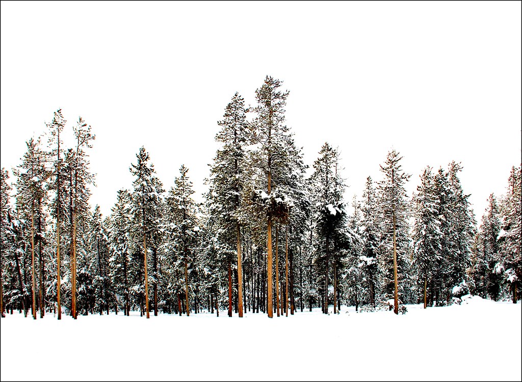
    WALLPAPER:  LODGEPOLE TRACERY

    -------

    Message: NOAA-NWS-ALERTS-

    WY12538FBC8410.WinterStormWatch.12538FEADF40WY.RIWWSWRIW.cde0eab188bbb31eaa7fbf2c4a22249c from w-nws.webmaster@noaa.gov Sent: 01:20 MST on 01-03-2015 Effective: 01:20 MST on 01-03-2015 Expires: 05:00 MST on 01-06-2015

    Event: Winter Storm Watch Alert:
    ... POTENT WINTER STORM SYSTEM TO ARRIVE SUNDAY NIGHT.
    ... AFTER A SHORT BREAK FROM SNOW TONIGHT.
    ... LIGHT TO OCCASIONALLY MODERATE SNOW WILL BEGIN TO FALL ACROSS THE WESTERN AND NORTHWESTERN MOUNTAINS ONCE AGAIN BY SUNDAY MORNING.
    ...  AHEAD OF A MUCH STRONGER UPPER LEVEL DISTURBANCE AND GREATLY INCREASED MOISTURE FROM THE PACIFIC NORTHWEST. DURING THE OVERNIGHT PERIOD ON SUNDAY,
    ... SNOWFALL INTENSITY WILL RAPIDLY INCREASE ALONG WITH STRONG WESTERLY WINDS. THIS WILL PRODUCE AREAS OF HEAVY BLOWING AND DRIFTING SNOW AND GREATLY REDUCED VISIBILITIES THROUGH TUESDAY MORNING.
    ... MAKING FOR VERY HAZARDOUS TRAVEL CONDITIONS.
    ... WINTER STORM WATCH IN EFFECT FROM SUNDAY AFTERNOON THROUGH LATE MONDAY NIGHT.
    ... THE NATIONAL WEATHER SERVICE IN RIVERTON HAS ISSUED A WINTER STORM WATCH.
    ..WHICH IS IN EFFECT FROM SUNDAY AFTERNOON THROUGH LATE MONDAY NIGHT.

    * SUMMARY AND TIMING.
    ... PERIODS OF MODERATE TO HEAVY SNOW AND INCREASED WINDS TO BEGIN SUNDAY NIGHT.
    ... LASTING THROUGH TUESDAY MORNING.
    * SNOW ACCUMULATIONS.
    ..ONE TO TWO FEET IN THE MOUNTAINS WITH 6 TO 12 INCHES IN THE JACKSON AND STAR VALLEYS. LOCALLY HIGHER AMOUNTS WILL BE POSSIBLE.
    * WIND AND VISIBILITY.
    ..WEST TO SOUTHWEST WINDS 15 TO 30 MPH WITH GUSTS 40 TO 50 MPH WILL COMBINE WITH THE SNOW.
    ..GREATLY REDUCING VISIBILITY AT TIMES.
    * IMPACTS.
    ... ROADS WILL BE SLICK.
    ... SNOWPACKED.
    ... WITH POSSIBLE LARGE DRIFTS COVERING THE ROADWAYS AT TIMES.
    ... MAKING TRAVEL EXTREMELY HAZARDOUS.

    * Instructions: REMEMBER.
    . . A WINTER STORM WATCH MEANS CONDITIONS ARE FAVORABLE FOR HAZARDOUS WINTER WEATHER IN AND CLOSE TO THE WATCH AREA.
    ... THE LATEST ROAD CONDITIONS PROVIDED BY THE WYOMING DEPARTMENT OF TRANSPORTATION ARE AVAILABLE BY CALLING 5-1-1 OR ON THE INTERNET AT WYOROAD.INFO. Target Area: Jackson Hole Salt River and Wyoming Ranges Star Valley Teton and Gros Ventre Mountains Yellowstone National Park
    -------
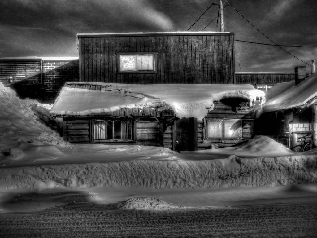
    WALLPAPER: WINTER'S GRIP